Geodesy and Cartography
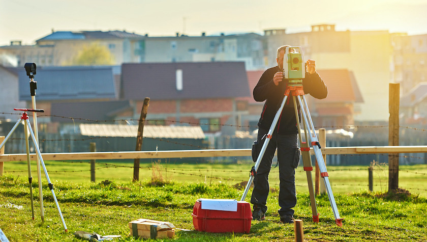
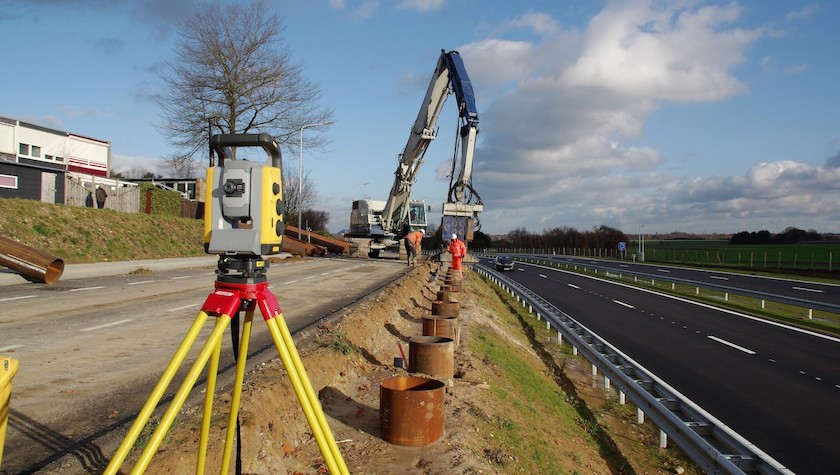
Geodesy is a science of determining Earth’s dimension and form and, for measuring and picturing the Earth or part of it in maps and plans, for measurementс necessary for design, construction and exploitation of engineering installations, and for many more purposes. The name of the science itself point to origin from human’s labor activities, and is directly connected to exploiting parts of earth’s surface for production and construction. Our company is in possession of modern surveying equipment and licensed software for measurement data processing. We can assist in every common and specialized surveying works, in study, planning, design and during ongoing construction.
- Geodetic measurements
- Stake out/Setting out work
- Precise geometric leveling
- Calculation of areas and volumes
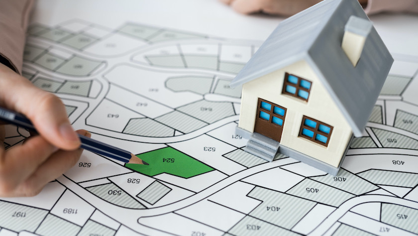
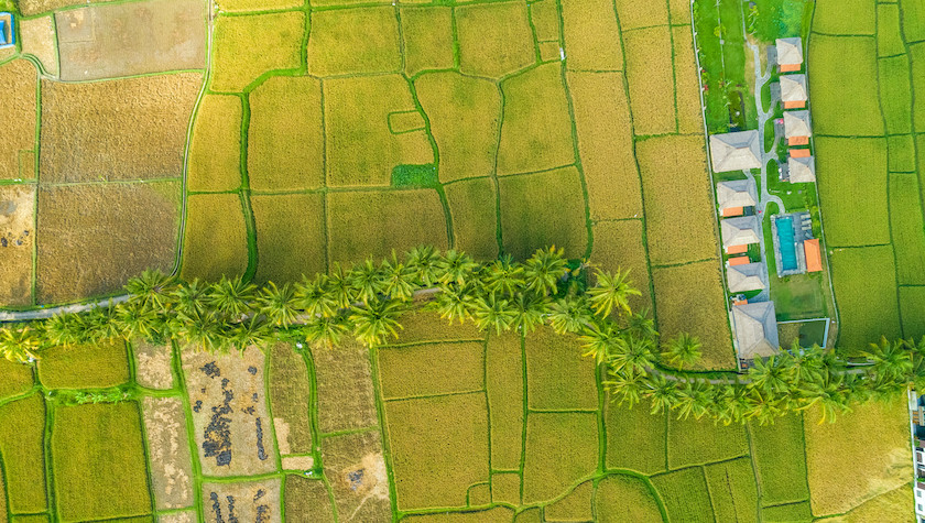
- Creating topographic plans and specialized maps
- Land grading (vertical planning) projects
- Projects and planning for stakeout work
- Cartogram of earthworks volume
- Digitizing of paper(analogue) maps and plans


